Step-by-Step Route Guide: Trailhead to Summit, Daily Itinerary, Elevation Profiles, and Campsites on the Kerinci Trek
- Step-by-Step Route Guide: Trailhead to Summit, Daily Itinerary, Elevation Profiles, and Campsites on the Kerinci Trek
Mount Kerinci, standing tall at 3,805 meters above sea level, is the highest volcano in Indonesia and the highest peak on the island of Sumatra. For adventurers seeking a raw, challenging, and incredibly rewarding experience, the Kerinci Trek offers a journey through lush tropical rainforests, volcanic scree, and breathtaking cloud forests. This guide provides a comprehensive breakdown of the route, ensuring you are prepared for every step from the trailhead to the roof of Sumatra.
Understanding the Kerinci Trek Terrain
The trek typically begins from the village of Kersik Tuo. Unlike many popular mountains in Java, Kerinci maintains a rugged charm with trails that are often narrow, steep, and intertwined with tree roots. The elevation profile is a steady incline that transitions from 1,500m at the base to nearly 4,000m at the summit, requiring good physical conditioning and stamina.
Daily Itinerary: The Standard 2-Day/1-Night Route
While some choose a 3-day pace to enjoy the biodiversity, the most common itinerary is the 2D1N trek. Here is the step-by-step breakdown:
| Stage | Location | Elevation | Est. Time |
|---|---|---|---|
| Start | R10 (Registration) | 1,600m | – |
| Checkpoint | Pintu Rimba (Jungle Gate) | 1,800m | 45 mins |
| Rest Area | Pos 1, 2, & 3 | 1,900m – 2,200m | 3 hours |
| Camp Site | Shelter 1 & 2 | 2,500m – 3,000m | 4 hours |
| Summit Push | Shelter 3 to Peak | 3,300m – 3,805m | 3-4 hours |
Day 1: Kersik Tuo to Shelter 2 or 3
The journey begins at the R10 post for registration. From here, you can take a local transport to Pintu Rimba. The trail starts relatively flat but quickly enters dense jungle. Between Pos 1 and Pos 3, the path is dominated by massive roots and mud if it has rained recently. Most hikers aim to reach Shelter 2 (3,000m) or Shelter 3 (3,300m) to set up camp. Shelter 3 is preferred for a shorter summit push but is highly exposed to wind.
Day 2: The Summit Push and Descent
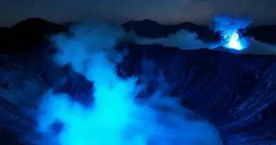
The summit bid usually starts at 3:00 AM. Above Shelter 3, the vegetation disappears, replaced by loose volcanic rock and gravel (scree). This is the most technical part of the Kerinci Trek. Reaching the rim of the crater at sunrise offers a spectacular view of the smoking caldera and the distant Indian Ocean. After celebrating at the summit, the descent back to the base takes approximately 6-7 hours.
Essential Campsites and Water Sources
Choosing the right campsite is vital for a successful summit. Shelter 1 is spacious but low in altitude. Shelter 2 is nestled in the forest, providing protection from the wind. Shelter 3 is on a ridge; while it offers the best views, it is prone to extreme weather. Note that water sources are scarce on the mountain; there is a small spring near Shelter 2, but it is seasonal. It is highly recommended to carry all your water from the base.
Elevation Profile and Physical Preparation
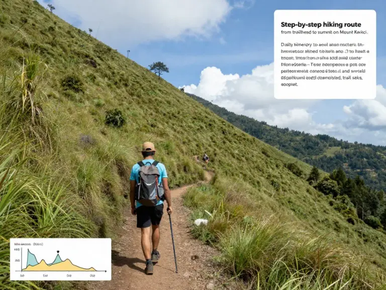
The total vertical gain is over 2,200 meters. Hikers should focus on cardiovascular training and leg strength. Acute Mountain Sickness (AMS) can occur above 3,000m, so staying hydrated and maintaining a steady pace is crucial for a safe experience on the Kerinci Trek.
คำถามที่พบบ่อย (FAQ)
What is the best time to hike Mount Kerinci?
The best time is during the dry season, from June to September. Hiking during the rainy season can make the trails extremely slippery and dangerous.
Do I need a guide for the Kerinci Trek?
While experienced hikers can navigate the trail, hiring a local guide is highly recommended for safety, logistics, and to support the local economy in Kersik Tuo.
How difficult is the summit climb?
The final stretch from Shelter 3 to the summit is difficult due to the 45-degree incline and loose volcanic scree. It requires good balance and mental fortitude.
Are there wild animals on the trek?
Kerinci Seblat is home to the Sumatran Tiger and various primates. While sightings are rare on the main hiking trail, you will likely hear the calls of Siamang gibbons in the lower forest zones.
References
Indonesia Travel – Kerinci Seblat National Park
UNESCO World Heritage – Tropical Rainforest Heritage of Sumatra
- Summit Mount Kerinci: A Complete Trekking Guide from Kersik Tuo — Routes, Permits, Gear, and Safety Tips
- Best Time to Trek Mount Kerinci from Kersik Tuo: Weather, Trail Conditions, and Seasonal Recommendations for Successful Summits
- Permits, Local Guides, and Village Logistics: How to Book from Kersik Tuo, Park Fees, Guide Qualifications, and Homestay Options